City Streets as Classrooms: Inspiring Learning on the Move
Step into a learning adventure where city streets become purposeful routes linked directly to curriculum for primary and secondary learners. We explore curriculum-linked urban field trip walks for primary and secondary schools, showing how standards-aligned stops, inquiry tasks, and community voices transform ordinary neighborhoods into dynamic classrooms. Expect practical planning frameworks, safety checklists, interdisciplinary ideas, and assessment strategies that make every step count, plus stories from teachers who discovered unexpected joy when a bus timetable, a mural, or a drain cover unlocked a breakthrough. Share your own route ideas, questions, and successes to help expand this growing movement together.
Align Stops to Standards
Begin by anchoring each stop to a precise skill or concept. A river bridge becomes a case study in forces and materials science; a market square turns into a statistics lesson on sampling; a memorial invites historical interpretation. Write short, student-friendly success criteria for each location, and prepare prompts that make standards visible in the moment. Swap or reorder stops as needed to maintain fidelity to intended outcomes, and publish the map with objective labels so learners recognize the purpose behind every pause.
Differentiate for Age and Ability
Design layered tasks that support emerging readers, multilingual learners, and advanced analysts on the same pavement. Younger children might count, sketch, or classify observations, while older students construct arguments using primary evidence gathered in situ. Offer choice boards with tiered complexity, tactile tools for sensory processing needs, and extension prompts that push synthesis. Build reflection moments that ask, “What feels challenging here, and why?” so support becomes collaborative and visible. Share exemplars, and invite students to propose alternative tasks that meet the same learning intentions.
Measure What Matters
Assessment can be mobile, humane, and precise. Use quick exit checks at corners, photographed artifacts annotated later, and short audio reflections captured between crossings. Rubrics highlight evidence of reasoning, collaboration, and ethical community engagement alongside subject knowledge. Pre-assess to tailor difficulty, then compare with post-trip products like concept maps, data visualizations, or civic letters. Include self and peer assessments to deepen metacognition. Ensure feedback cycles continue back in class, closing the loop so walking discoveries translate into sustained progress and documented growth for every learner.
Safety, Logistics, and Calm Confidence Curbside
Great learning outdoors thrives on meticulous preparation. Plan routes with clear sightlines, predictable crossings, and accessible rest points, and build a rhythm that alternates discovery with debrief. Create contingency plans for weather, transport changes, and crowded sidewalks. Establish communication protocols, assign roles, and rehearse routines so the street feels structured yet alive. Include caregivers early, address medical needs discretely, and ensure permissions are transparent. With systems in place, teachers can focus on pedagogy, and students experience freedom within safe boundaries. Share checklists and feedback to refine operations every time.
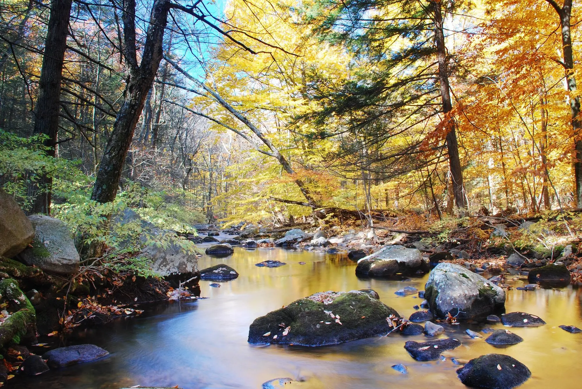
Urban Ecology in Pocket Parks
Treat a planter, verge, or canal edge as a living lab. Students catalog species with simple dichotomous keys, test microclimate variations with handheld thermometers, and infer human impact from litter composition. Discuss ecosystem services provided by street trees, then model food webs back in class using gathered evidence. Compare biodiversity near busy roads versus quieter courtyards. For younger pupils, turn findings into creature cards; older learners can explore heat island data and mitigation strategies. Share photographs with local groups, inviting joint stewardship actions grounded in authentic, place-based science.
Streets That Remember: Archives Underfoot
Every plaque, brick pattern, and shopfront typography whispers time. Students triangulate oral histories, map layers, and census fragments to reconstruct change. They debate whose stories are amplified, whose are missing, and how power shapes public memory. Primary pupils create timeline ribbons from oldest to newest building; secondary classes evaluate bias in heritage signage, proposing revisions supported by evidence. Invite a city archivist virtually, or visit a records office after the walk. Publish student-curated micro-exhibitions, then ask the community to contribute captions, building a participatory archive rooted in curiosity and care.
Public Art as Critique and Creation
Pause at sculptures, murals, and spontaneous graffiti to explore symbolism, audience, and context. Students sketch compositional choices, analyze color as rhetoric, and connect messages to local issues. Compare commissioned works with vernacular art, raising questions about permission, protest, and belonging. Primary children design mini-stickers honoring kindness; secondary learners draft policy briefs on arts funding priorities. Invite an artist to discuss process, then co-create a temporary, approved installation celebrating neighborhood strengths. Capture reflections in audio galleries, and encourage families to complete a weekend art-walk, extending dialogue beyond the school day.
Interdisciplinary Sparks Around Every Corner
A single street can ignite science, humanities, arts, and citizenship in one sweep. Construct sequences where a micro-ecosystem informs data practice, a centuries-old facade invites historical empathy, and a mural opens critical media literacy. Interdisciplinarity is not a compromise; it is amplification. Students triangulate observations across subjects, discovering that knowledge systems converse. Share how one Year 8 group connected storm drains to poetry about memory, or how a Year 4 class linked shop signage to phonics patterns. Invite colleagues to co-teach, braid assessments, and publish cross-subject artifacts.
Noticing Rituals and Curiosity Prompts
Prime attention with short routines: thirty seconds of silent seeing, one quick sketch, two questions whispered to a partner. Provide prompt cards—sound, texture, symbol, access—that turn wandering into pattern spotting. Gather wonders in pocket notebooks, sticky notes, or voice memos, then cluster them at the next stop to prioritize inquiries. Normalize uncertainty and joyful revision of hypotheses. For younger students, translate complex terms into approachable gestures; for older ones, connect their questions to assessment criteria. Celebrate moments when a mundane manhole cover sparked geoscience, history, and design thinking simultaneously.
Conversations With Neighbors
Prepare interview frames and consent practices that honor boundaries while inviting stories. Students ask a shopkeeper about delivery schedules, a bus driver about peak routes, or a gardener about soil choices. They record paraphrases rather than sensitive details, thank participants, and share back emerging insights. Debrief power dynamics and representation: who felt easy to approach, and why? Compare accounts to physical evidence on the street, strengthening critical literacy. Compile anonymized quotes into a learning wall, then send a warm summary to participants, nurturing trust and future collaborations grounded in reciprocity.
From Findings to Action
Turn observations into proposals, artworks, or data briefs. Primary classes might design kindness posters for crossings; secondary students could model traffic calming impacts using spreadsheet scenarios. Choose a scale of action that is authentic yet attainable, avoiding tokenism. Share outcomes with councils, businesses, or neighborhood groups, tracking responses. Build reflection on civic ethics—listening first, asking permission, giving credit. Archive the journey so next cohorts can iterate. Invite readers to contribute examples of student-led change, and subscribe to receive seasonal action templates co-authored with educators and community partners across diverse contexts.
Tools That Turn Walks Into Evidence
Technology should serve thinking, not overshadow it. Curate simple, reliable tools that help students map, measure, narrate, and synthesize without losing presence. Blend analog and digital: clipboards beside tablets, chalk beside GIS. Prioritize offline functionality, auto-save, and low-battery resilience. Scaffold data ethics—consent, anonymization, storage—so integrity accompanies curiosity. Provide templates students can remix, then showcase final products in school galleries and community spaces. Invite readers to share app recommendations and printable resources that worked with younger learners or exam groups, helping us refine a practical, classroom-tested toolkit.
Maps That Students Make
Whether sketching routes on paper or pinning observations in a shared map, students become cartographers of meaning. Primary pupils color-code stops by feeling—calm, noisy, curious—while older learners layer datasets like traffic counts or green cover. Teach basic symbology and legends, then publish route narratives that blend images with captions tied to objectives. Compare multiple groups’ maps to surface perspective, bias, and discovery patterns. Export artifacts for portfolios. Encourage families to walk student-created routes on weekends, building a community atlas authored by young explorers who read the city attentively.
Data Capture Made Simple
Keep collection methods elegant: tally sheets for passing vehicles, quick temperature readings, litter categorization, or snippet sketches of storefront fonts. Short, structured forms reduce cognitive load on the move while preserving rigor. Model how to label time, location, and conditions accurately. Back in class, clean data collaboratively and visualize trends, noting limitations and outliers. Emphasize ethical guardrails for photographing spaces and people. For exam groups, align datasets to mark schemes; for younger pupils, turn numbers into stories. Share downloadable templates, and invite readers to trade their favorites in the comments.
Stories That Travel Farther Than Feet
Transform raw notes into compelling narratives through podcasts, zines, digital galleries, or pop-up exhibitions. Teach arc, audience, and evidence so products persuade as well as inform. Younger children might sequence photo captions; older students can weave interviews and statistics into multimodal essays. Publish safely with consent, celebrating both process and product. Present to families, governors, or community groups to close the loop of accountability. Encourage readers to subscribe for storytelling rubrics, exemplar portfolios, and festival opportunities that elevate student work from corridor displays to citywide conversations about place and possibility.

Inclusion, Belonging, and Joyful Access
Everyone deserves to feel invited, safe, and seen on the walk. Build experiences that welcome diverse bodies, languages, neurotypes, and cultural lenses. Plan alternative pathways, offer clear visual schedules, and practice call-and-response cues. Honor dietary, prayer, and rest needs without fuss. Choose stories representing multiple communities, and model curiosity over certainty. Celebrate different ways of participating—drawing, counting, listening, guiding. Reflect together about fairness and care. Publish inclusive checklists and invite readers to add resources that helped them widen the circle, then subscribe for seasonal access tweaks and co-created planning audits.
All Rights Reserved.